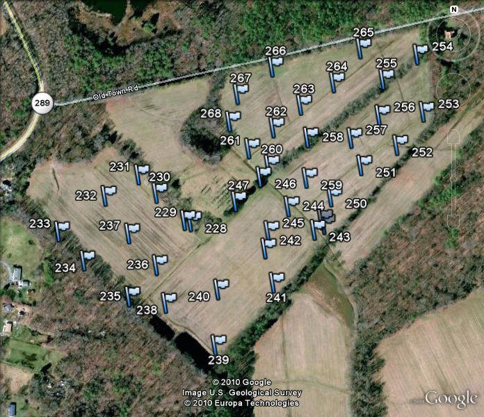
This Google Earth photo shows Garmin GPS flags at all the spots where we did soil borings to make sure the 20-acre wetland would actually stay wet (i.e., hold water). We are on the lookout for patches of sandy earth that can cause the constructed wetland to drain through the subsoil and be drier than desired. If we find those sandy lenses, we excavate them and replace the sand with water-holding clay.
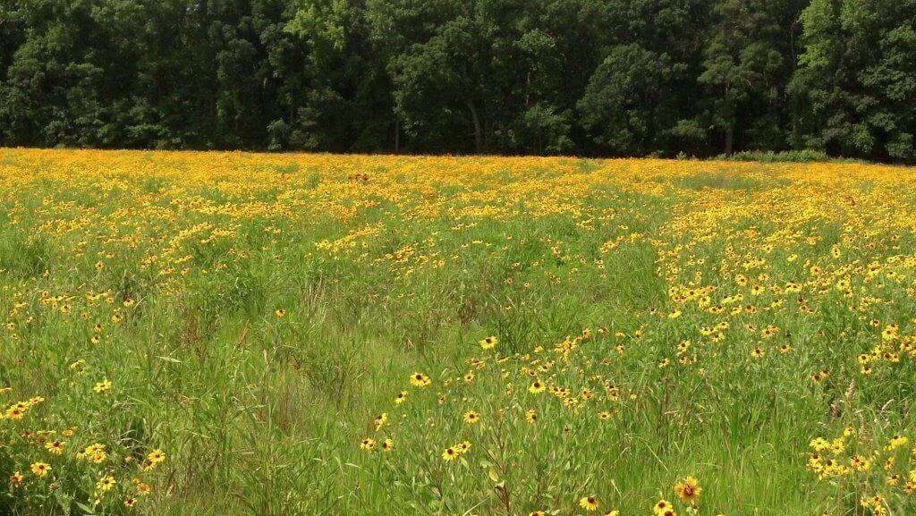
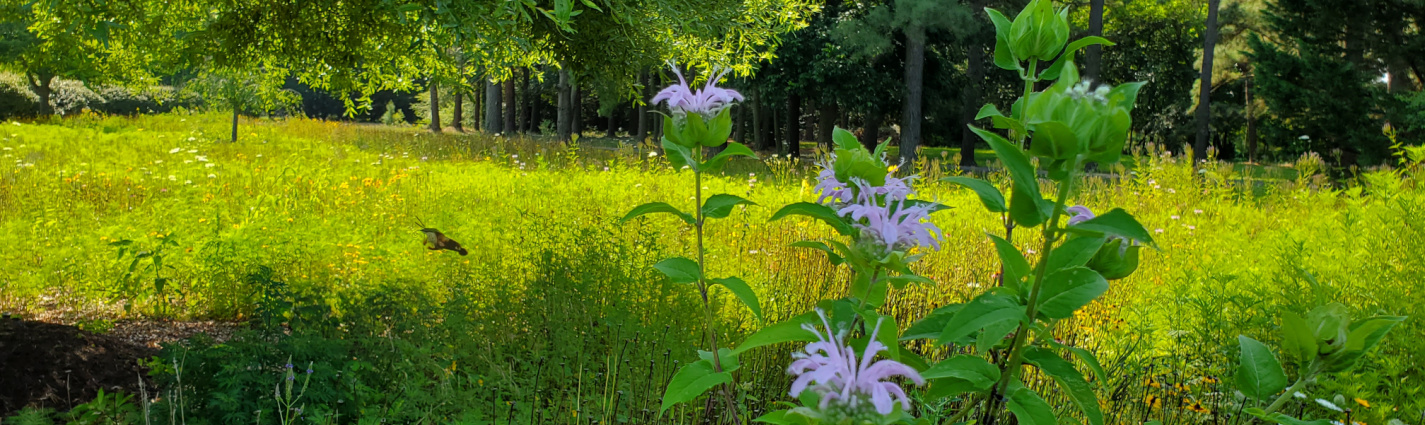
The buffer meadow at Woodmender Farm provides good habitat for upland birds and pollinators adjacent to the wetland.
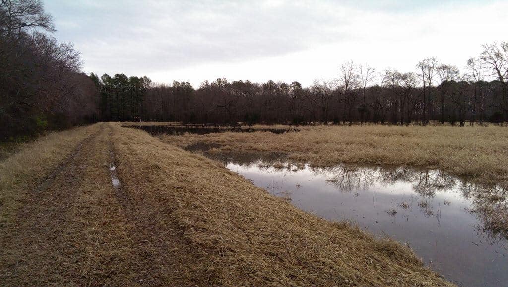
The berm that impounds the rainfall to create the wetland to the right.
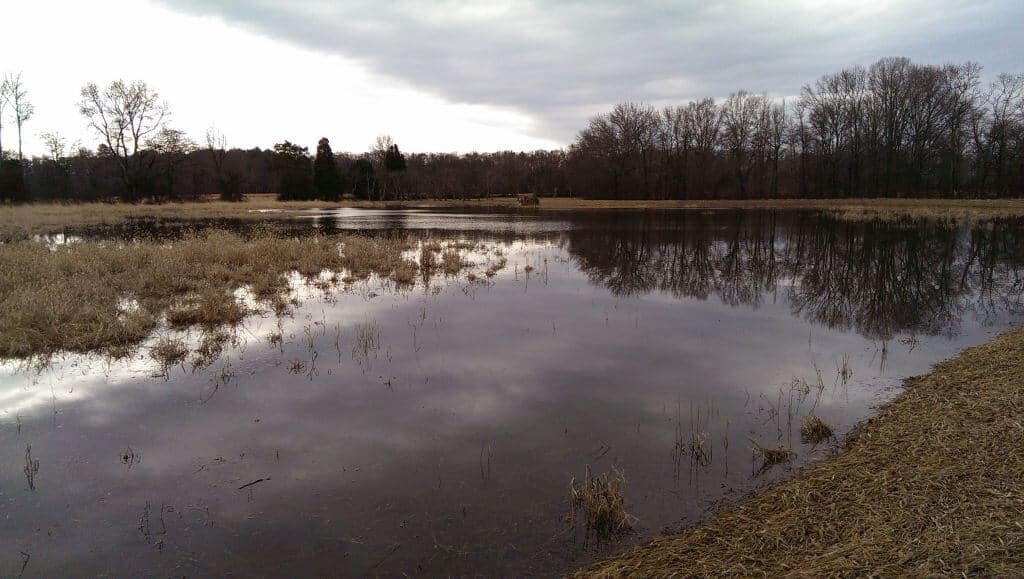
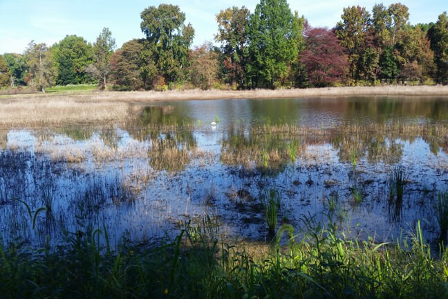
The shallow emergent vegetation is visible in this picture, along with pockets of slightly deeper open water that grow submerged aquatics.
You must be logged in to post a comment.